The Ordnance Survey (OS) of Great Britain, renowned as the world’s oldest national mapping agency, has a storied history that spans over two centuries. This article explores the inception of Ordnance Survey, the evolution of its purposes and technologies, and its modern-day applications, reflecting on how historical contexts and technological advancements have shaped its journey.
Establishment and Early History
Why It Was Set Up
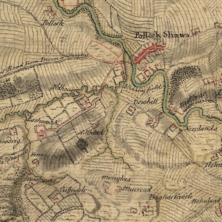
The Ordnance Survey was officially established in 1791, but its origins trace back to the aftermath of the Jacobite uprising in 1745. The rebellion highlighted the British military’s need for accurate maps of the Scottish Highlands to control the region more effectively. This necessity led to the commissioning of William Roy, a young engineer, to conduct an initial survey of the area using rudimentary methods.
Founding Figures
Major-General William Roy is often credited as the founder of Ordnance Survey. His pioneering work in the Scottish Highlands set the groundwork for future developments. Roy’s passion for precision in mapping was instrumental in advocating for a national survey at a time when maps were often inaccurate and unreliable.
Evolution Through the Centuries
19th Century: Expansion and Methodology
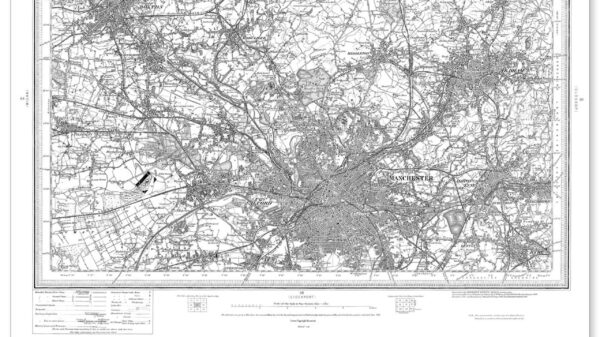
Throughout the 19th century, the scope of Ordnance Survey dramatically expanded beyond military needs. Under the auspices of the Board of Ordnance, mapping efforts extended across the entirety of Great Britain, aiming to create a detailed and uniform series of maps at a scale of one inch to the mile.
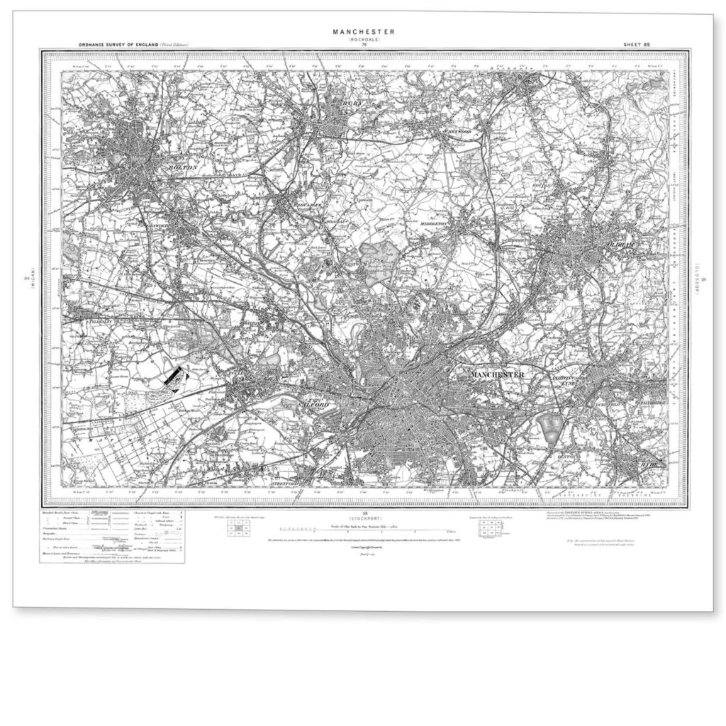
The use of triangulation, introduced by Roy, became more sophisticated with advancements in technology and methodology. The Great Trigonometrical Survey, which aimed to measure the entire country with unprecedented accuracy, was a significant undertaking that lasted several decades.
20th Century: Technological Integration and Civil Applications
As technology evolved, so did the techniques used by Ordnance Survey. The introduction of aerial photography during the First World War marked a significant shift, allowing for more detailed and rapid surveying of land. Throughout the 20th century, OS maps became indispensable tools not only for military purposes but also for civil engineering, urban planning, and recreational activities.
Technological Evolution
From Manual to Digital
The latter half of the 20th century witnessed a technological revolution in the methods of surveying and map production. The shift from manual drawing to digital systems in the 1970s and 1980s transformed the production and accessibility of maps. Computerisation enabled more frequent updates and more complex data layers in maps.
GIS and Modern Surveying
The advent of Geographic Information Systems (GIS) and the Global Positioning System (GPS) in the late 20th century further revolutionized Ordnance Survey’s capabilities. These technologies allowed for real-time data collection and highly accurate positioning, facilitating a move towards digital and online mapping services.

21st Century Applications and Uses
Digital Transformation
In the 21st century, Ordnance Survey has embraced digital innovation to remain relevant and useful in an increasingly information-driven society. Today, OS provides a range of digital mapping products and services that cater to diverse markets including government planning, environmental management, and outdoor activities.
Smart Technology and Big Data
The integration of smart technology and big data analytics has opened new avenues for the application of OS data. From supporting smart city initiatives to aiding in disaster management and mitigation, the data provided by OS is crucial for decision-making at multiple levels.
Public and Recreational Use
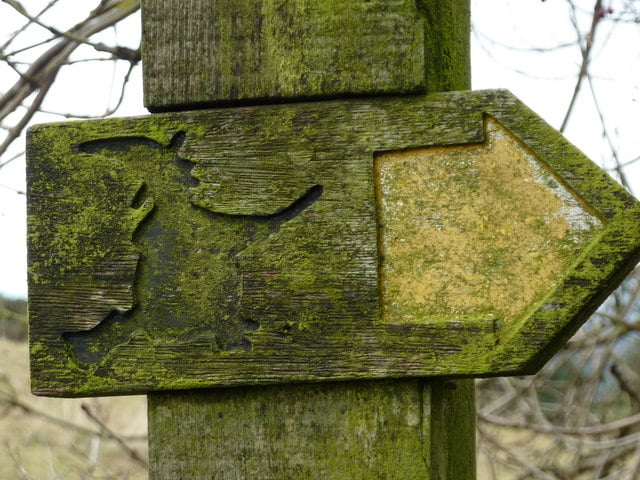
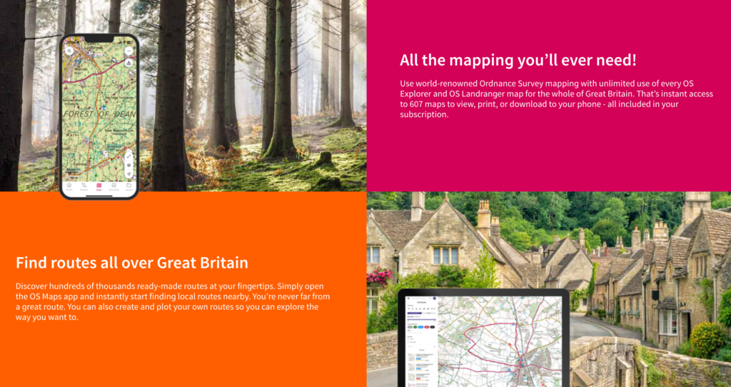
For the general public, Ordnance Survey continues to support outdoor activities such as hiking and cycling through its detailed topographic maps and digital applications. Apps like OS Maps offer users access to digital maps on their devices, combining traditional map reading with GPS technology.
Ordnance Survey’s journey from a military tool in the 18th century to a multifaceted digital resource in the 21st century illustrates a remarkable adaptation to changing technological landscapes and societal needs. As it continues to evolve, OS remains at the forefront of the geospatial industry, ensuring that its storied history continues to inform its innovative future.

